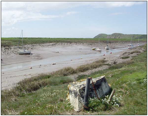
The Axe heading toward Weston Bay - and open sea. The prominent high ground is the peninsula of Brean Down - which is an isolated outlyer of the Mendip Ridge. It drops to sea level just off canera, right - so the river actually
enters Weston Bay the other side, north of it.
The far left high ground is approx WNW from here. From the Uphill slipway to open water at Weston Bay
is more or less 0.7 nm. Looks further than it measures on the chart.